2014, Trails HMBA VP 2014-10-10 2014, Trails HMBA VP 2014-10-10 Hidden Gems: Ranger Read More 2014, Hinton Bike Park, Trails HMBA VP 2014-09-29 2014, Hinton Bike Park, Trails HMBA VP 2014-09-29 Hidden Gems: Totally Lost Read More 2014, Trails HMBA VP 2014-09-22 2014, Trails HMBA VP 2014-09-22 Hidden Gems: Bubba's Read More 2014, Trails HMBA VP 2014-09-15 2014, Trails HMBA VP 2014-09-15 Hidden Gems: Vigilante Read More 2014, Trails HMBA VP 2014-09-08 2014, Trails HMBA VP 2014-09-08 Hidden Gems: Gasifier Read More 2014, Hinton Bike Park, Trails HMBA VP 2014-09-02 2014, Hinton Bike Park, Trails HMBA VP 2014-09-02 Hidden Gems: Stinger Read More
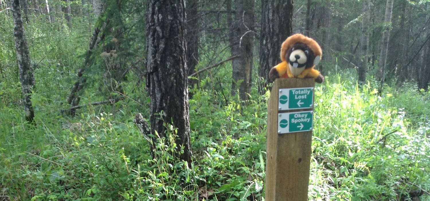
2014, Hinton Bike Park, Trails HMBA VP 2014-09-29 2014, Hinton Bike Park, Trails HMBA VP 2014-09-29 Hidden Gems: Totally Lost Read More
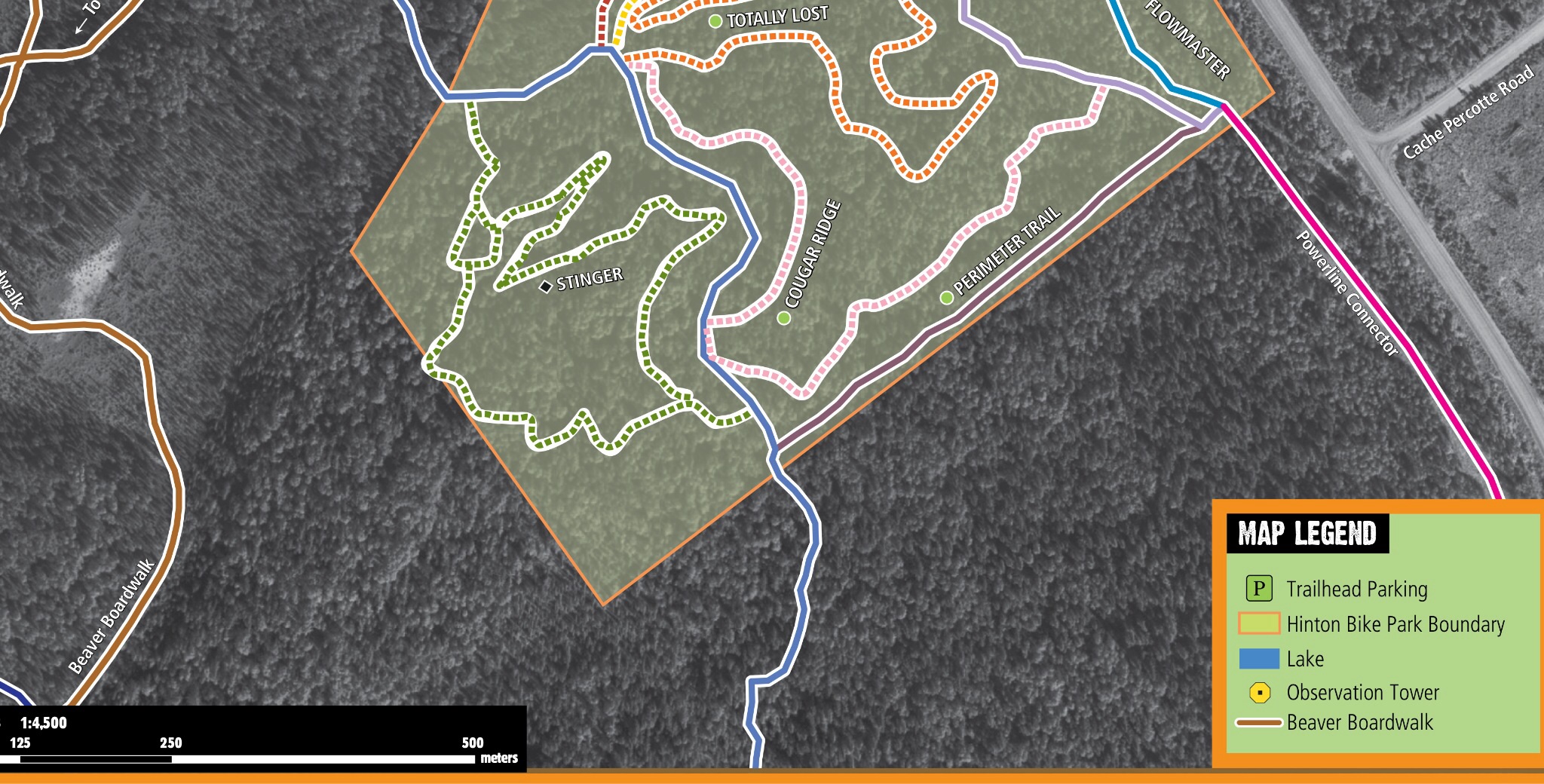
2014, Hinton Bike Park, Trails HMBA VP 2014-09-02 2014, Hinton Bike Park, Trails HMBA VP 2014-09-02 Hidden Gems: Stinger Read More