
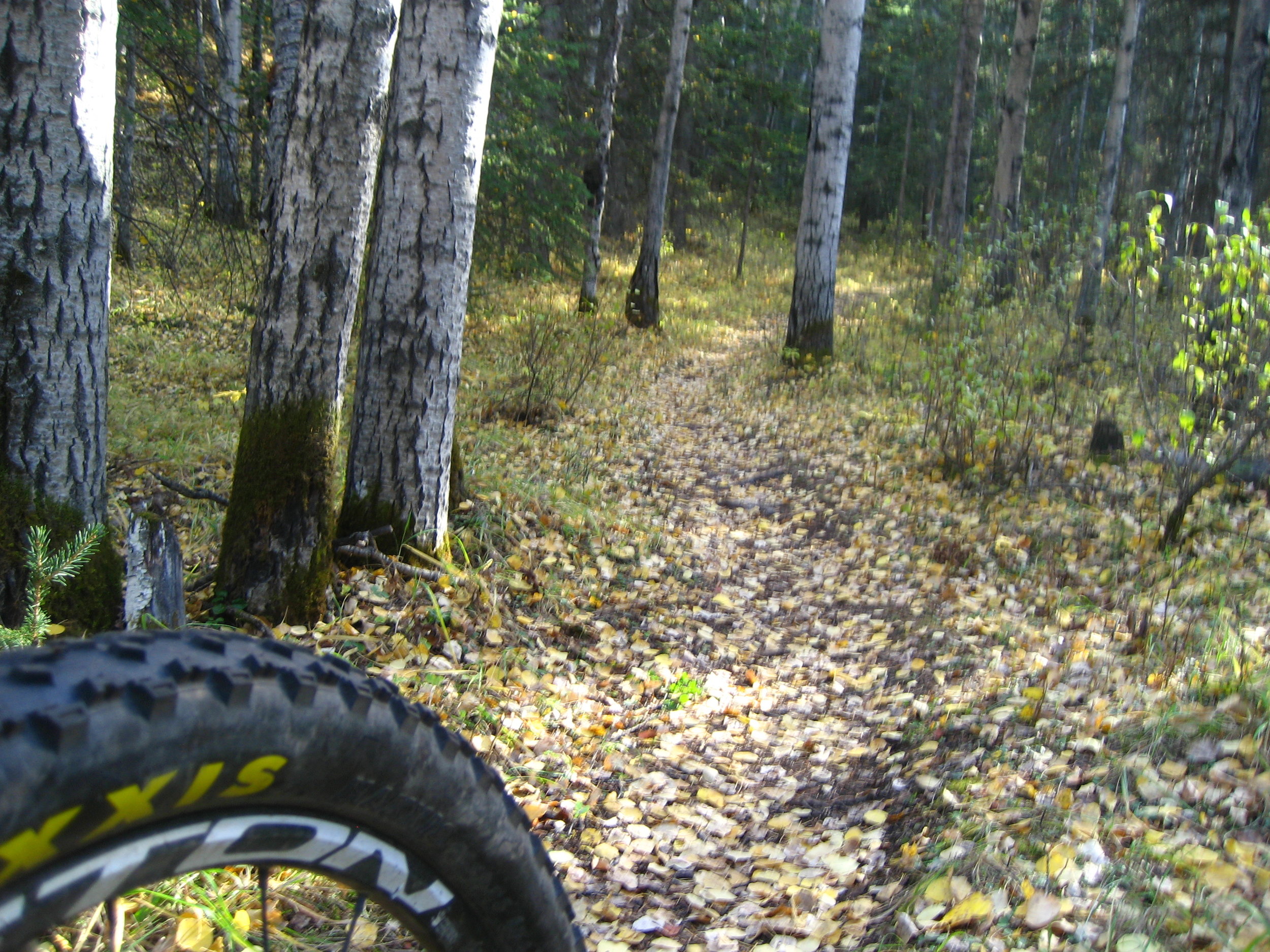
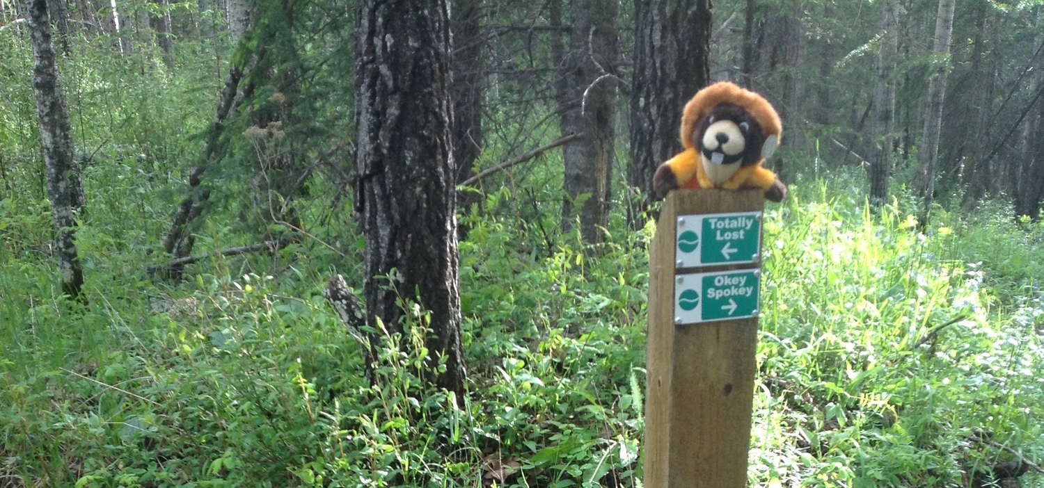
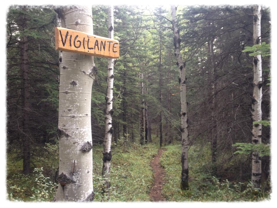
Trails
The rolling foothills, forests, lakes, and front ranges of the Rockies near Hinton are a mountain biker’s paradise. The opportunity is awesome for an epic trail. The access to get into it is easy, the terrain’s phenomenal, it’s almost as if Mother Nature said, ‘come take a look boys’ - Jay Hoots"
Trail Etiquette
Respect other trail users, pass with care and yield to pedestrians
Leave no trace and pack out any litter
Respect wildlife
All terrain vehicles (ATVs) and motor bikes are not permitted on singletrack trails
Stay on existing trails
Dogs are permitted on trails but should be kept under control
Avoid muddy trails to prevent trail widening and erosion
Respect private land > Ask permission, leave gates as they are found
IMPORTANT NOTICE!
Jack's Trails now "Unsanctioned"
On May 15, 2018, the HMBA Board or Directors had to make the decision to downgrade the Jacks Trail System to "Unsanctioned". This means that the trail is no longer maintained by the Hinton Mountain Bike Association. Riders ride at their own risk!
In early Spring of 2018, extensive clearing occurred in the lower areas of the trail system which ultimately erased and/or damaged the trails. The area is also slated for future development. The Board decided that it will focus on the Hinton Bike Park and Happy Creek Trail System moving forward.
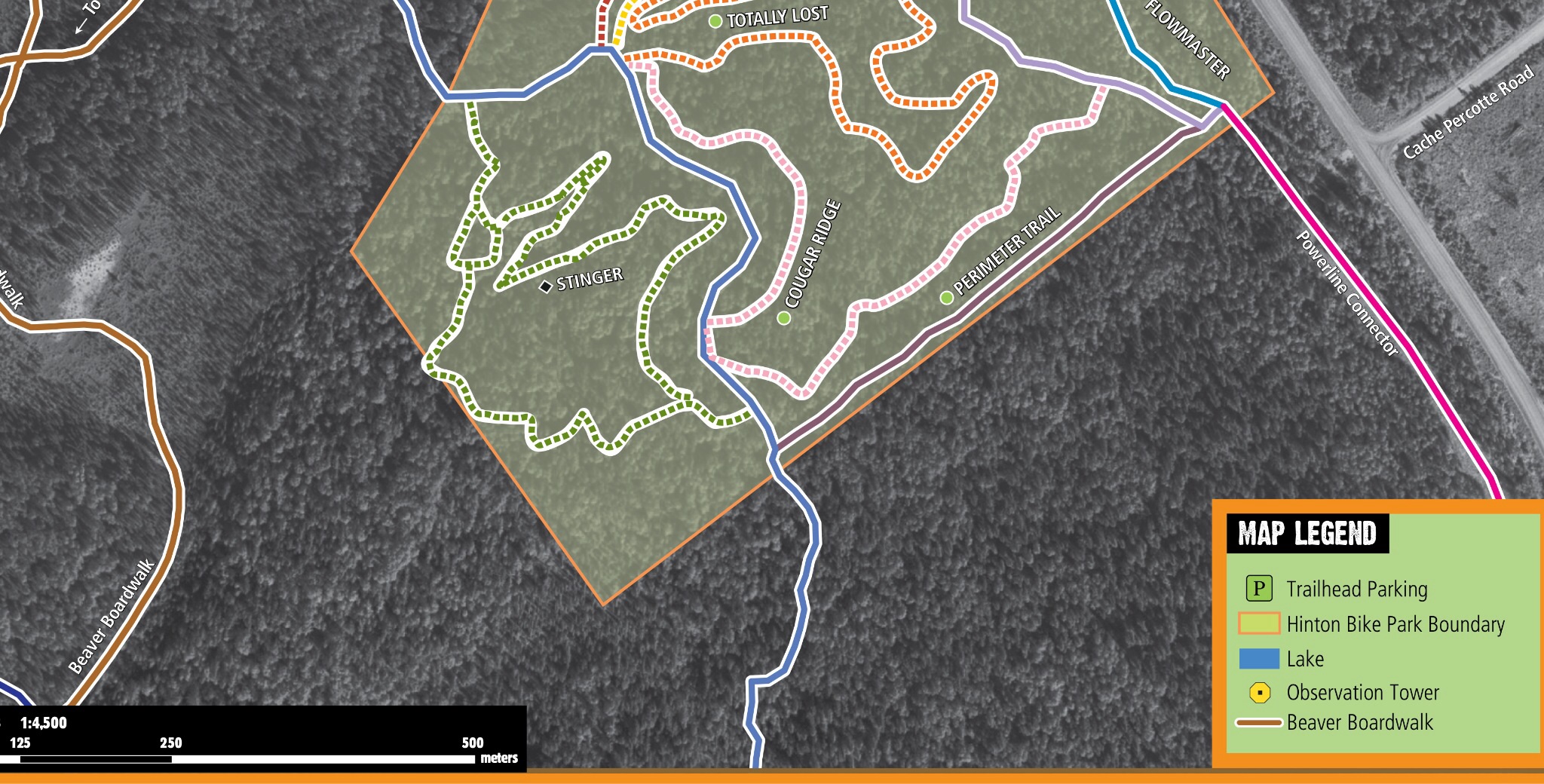
2014 Trail maps (has bike park trails)
2018 TRAIL MAP

2017 Trail Map. Click Here to download pamphlet. It is legal size (8.5"x14") and is folded 3 times, accordion-style.

OVERVIEW TRAIL & BIKE PARK MAP - Click here or the image above to download a PDF of the trail map (Bike Park Map included). (11MB)

Geo-referenced overview map available HERE. Load into PDF Maps by Avenza, a free app for mobile phones.

Trailforks is a crowd-sourced mountain biking trail database supplemented with Pinkbike content.
Click on logo to check it out!
Lots of trail stats in and around Hinton!

Join the HMBA group on Strava!
Cumulative ride stats from riders in our group are shown in the stats box! Please respect the trails and other trail users!
Check out our Hidden Gems!


Off Highway Vehicles
There have been numerous incidents, and evidence, of OHV's using mountain bike trails in Hinton. Not only has there been trail damage, but also damage to our beautiful new signs which state 'No Motorized Vehicles'. If you encounter a vehicle on the trails that shouldn't be there, please write down the license plate number and report it to the RCMP upon completing your ride. And don't forget to educate the OHV riders that you know, about the hard work, volunteer hours, and dollars it takes to build and maintain these trails.
Unapproved Features
We love that people head out riding in the Park and on surrounding trails. And we realize that after a few years, some people feel that they have mastered what is out there and want to go bigger. However, building unapproved obstacles and jumps is prohibited and will result in them having to be removed. Let's save everyone the work and work together towards getting new obstacles and features approved prior to building them. We do love to hear you ideas and would love it if you want to send us your ideas to keep the park exciting. Feel free to contact us at info@bikehinton.com with any questions or suggestions on how to improve mountain biking in Hinton.